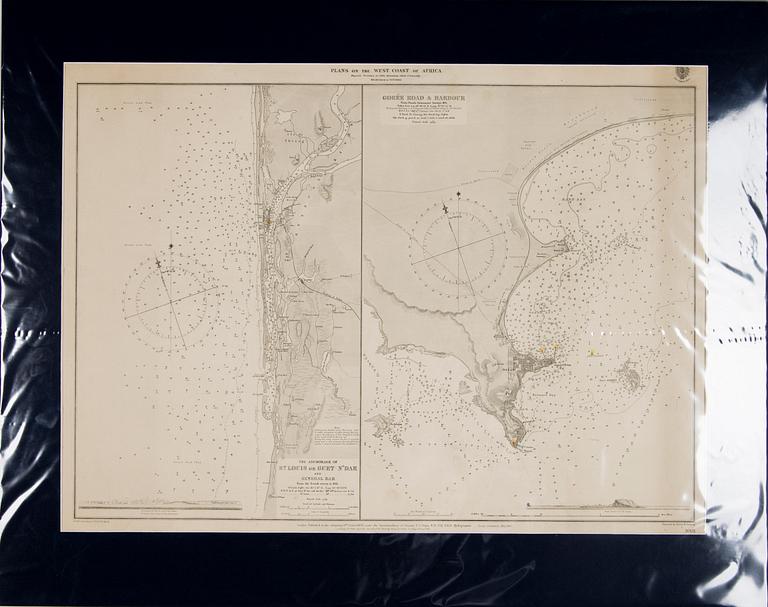
KARTTA, Aafrika 1879
KARTTA, Aafrika 1879
Plans on the West Coast of Africa/Gorée road &harbour, from the French Goverment Surveys 1875. Publiched at the Admiralty 6 october 1879. Kartta mitta 68x50 cm. Passpartou'lla 64,5x81,5 cm.
Huomaamtonta kulumaa, ei tutkittu ilman muovia, ei kehystetty
Muiden katsomia kohteita
4p 10 h
Kenny Scharf, "Vring!".
Ei tarjouksia
Lähtöhinta 10 000 SEK
4p 14 h
Olle Skagerfors, Self-Portrait.
Ei tarjouksia
Lähtöhinta 6 000 SEK
4p 14 h
Maurice Estève, "Rue Monsieur le Prince".
Ei tarjouksia
Lähtöhinta 5 000 SEK
3p 11 h
Enrico Baj, "La Canicule", From "Dames et Generaux".
Ei tarjouksia
Lähtöhinta 2 500 SEK
3p 15 h
Jan Håfström, "Utan titel (2251).
Ei tarjouksia
Lähtöhinta 4 000 SEK
6p 12 h
Jacques Villon,"Moeris et Lycidas attendent Virgile".
Ei tarjouksia
Lähtöhinta 3 000 SEK
1p 16 h
Outi Heiskanen, "Tähtikorva Carmen Reino".
Ei tarjouksia
Lähtöhinta 250 EUR
1p 17 h
Olavi Vaarula, Jonglööri.
Ei tarjouksia
Lähtöhinta 300 EUR


