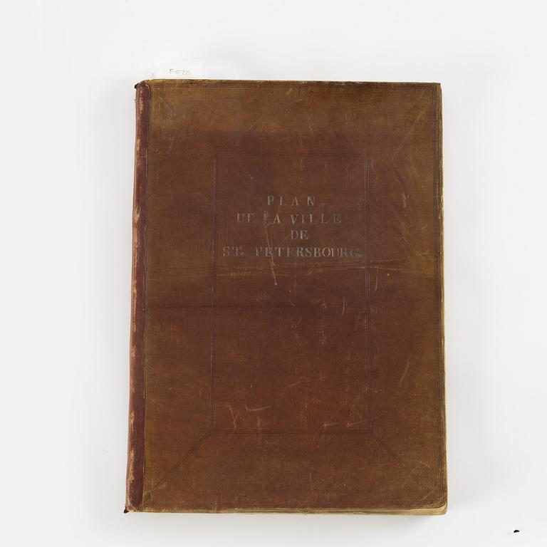
The rare Makhaev wall map of St. Petersburg, with other views and maps, 1753, 1741 and 1739
(1)
Mikhail Makhaev (1716-1770) and others:
Plan de la ville de St. Petersbourg avec ses principales vües, dessiné & gravé sous la direction de l’ Academie Imperiale des Sciences & des Arts.
Large engraved map + 9 large engraved views (a few more were issued).
St. Petersbourg 1753. Folio. (Volume size: 52,3 x 37 cms.) [2] + 6 pp. (title, index to the map etc.) + 9 double-page sheets forming a large, detailed wall-map of St. Petersburg (unassembled) + 9 engraved Petersburg views: 3 very large and folding (approx. 52 x 136 cms), 6 double-page (approx. 52 x 70 cms). Text and captions in Russian and French. The following views are present (following after the 9 sections of the map):
"Vue des bords de la Neva en remontant la rivère […]” (at foot one short tear and two repairs verso)
"Vue des bords de la Neva en descendant la rivière entre le Palais d'hyver […]"
”Vue de la Neva vers l’orient entre le chantier des galeres […]”
"Vue de l'ancien Palais d'hyver de sa Majesté Imperiale […]” (short tear at foot along centre fold)
"Vue de l'Amirauté et de ses environs"
”Vue d’une partie de la ville de St. Petersbourg en regardant de la porte […]”
”Vue du Nouveau Palais près de la porte triomphale” (tear along centre fold at foot, through the central armorial device and into the image by a centimeter)
"Vue des batimens des colleges Imperiaux […]”
”Vue du Palais d'Eté de sa Majesté Impériale du coté du Nord”
Large wall map (the ”Makhaev map”) and panoramic views of St. Petersburg from the first series of engraved views of the city, commissioned by Empress Elizabeth as part of the 50th anniversary celebrations of the founding of St. Petersburg in 1703. The map would measure 141,5 by 206,5 cms if joined. One sheet of the map includes a portrait of the Empress.
Very rare, the edition is said to have been limited to 100 copies.
(2)
Bound with:
Johann Daniel Schumacher:
Gebäude der Kayserlichen Academie der Wissenschafften nebst der Bibliothec und Kunst-Kammer in St. Petersburg nach ihrem Grundriss, Aufriss und Durchschnitt vorgestellet. (The building of the Imperial Academy of Sciences together with the Library and Kunstkammer in St. Petersburg according to their ground plan, elevation and section.)
St. Petersburg 1741. Folio. [6] pp. + engraved frontispiece + 12 double-page plates (the first being a map of St. Petersburg, engraved by G. I. Unvertzagt, ”Plan der Kayserl. Residentz Stadt St. Petersburg wie Solcher Ao 1737 Aufgenommen Worden”). Text in Russian, title and captions also in German, French and Latin.
The revised issue without dedication to Anna Leopoldovna, and mentioning Empress Elizabeth instead in the cartouche of the frontispiece.
The final plate is a magnificient library interior, cut rather close at top slightly affecting framing line, and with loss of plate number (12).
The large map of this work is the earliest Russian printed map of the city available today. The plan was based on topographical surveys conducted by the Academy of Sciences in Petersburg since 1729. The beautiful plates constitute the only documentation of the internal structure of the building, the Library and the Kunstkammer before the fire of 1747.
(3)
Bound at end - 1739 Moscow map with letterpress key:
Ivan Michurin (1700-1763):
Plan imperatorskago Stolichnago Goroda Moskvai. (Plan of the Imperial capital city of Moscow.)
[St. Petersburg, Russian Academy of Sciences, 1739.]
Double-page (full-sheet) engraved map of Moscow (52 x 61,5 cms), accompanied by a double-page letterpress key to locations of principal buildings and streets (52 x 69 cms). Map cropped within plate mark along upper framing line, which remains visible for the most part.
The first geodetic plan of Moscow, made under the supervision of the architect Ivan Michurin at the request of Empress Elizabeth.
The three items bound together in contemporary limp crimson blind-stamped leather, front cover lettered ”Plan de la ville de St. Petersbourg”. Slightly worn but fine. Provenance: Count Adam Horn (1717-1778), son of Arvid Horn, with ownership inscription on first title ”A. Horn” and red armorial wax seal with motto ”Amore Honor[is]” incorporating the insignia of the Swedish Order of the Seraphim (Serafimerorden). An outstanding association copy: Horn was sent by King Adolf Fredrik to St. Petersburg in the 1750s to secretly persuade the Russian government to support the Swedish court in the fight against the Swedish political ”hat” party. The attempt failed.
.


