With 169 engraved Sea Charts
With 169 engraved Sea Charts
Joseph Roux:
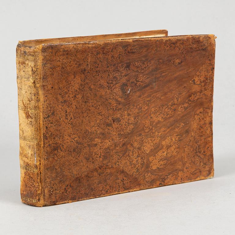
Recueil des Principaux Plans des Ports et Rades de la Mer Méditerranée, estraits de ma carte en douze feuilles.
”Marseille 1764”, but an undated, substantially enlarged edition, possibly c. 1780. Oblong 4to. (17,2 x 23 cms.) Engraved title + 169 (of 170) engraved maps numbered 1-36, 38-119, [120:] ”Ports d’Alexandrie”, folding, with printed text leaf, + 121-170, + letterpress index leaf, ”Table des [170] plans des ports contenus dans ce recueil”.
Contemporary tree calf, worn, annotations to front flyleaf, endleaves and final printed text leaf (Table) creased, joints weak. Lacks map 37 (”Bouche de Boniface”, the Strait of Bonifacio between Corsica and Sardinia). The original 1764 edition was limited to 121 charts.
.
Muiden katsomia kohteita
4p 5 h
Helmut Newton,.
Tarjottu 10 000 SEK
Lähtöhinta 60 000 SEK
3p 6 h
Editio princeps of all Pliny's ten books of letters, Aldus Manutius 1508.
Tarjottu 5 000 SEK
Lähtöhinta 17 000 SEK
3p 6 h
Kjartan Slettemark, 'Gevalia dricks mest'.
Tarjottu 900 SEK
Lähtöhinta 3 000 SEK
3p 3 h
With 300 beautiful hand-coloured plates of flowers and plants.
Tarjottu 15 000 SEK
Lähtöhinta 25 000 SEK
3 h 30m
Early and important work on the laplanders, with numerous engravings.
Tarjottu 3 000 SEK
Lähtöhinta 6 000 SEK


