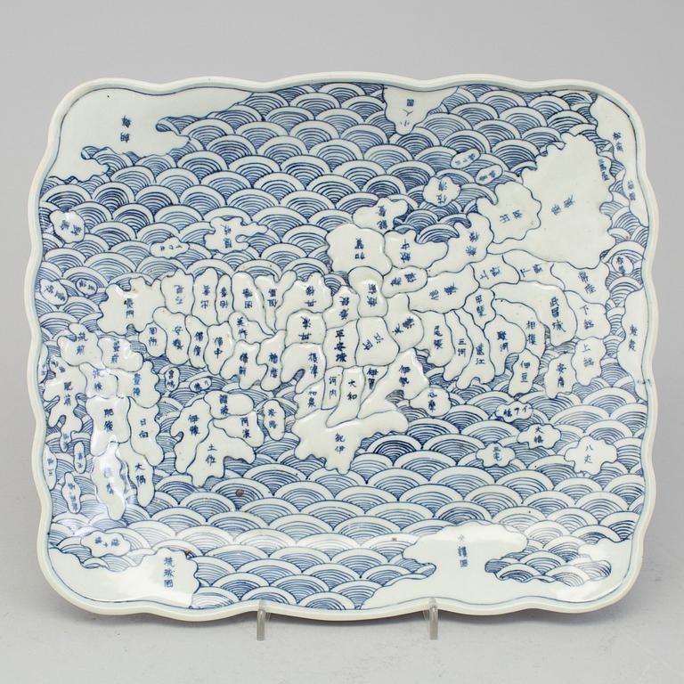
A japanese rectangular plate with a map of Japan and neighbouring islands. Arita ware. Edo period, Tenpo era (1830-43).
Bottom with an four character inscription 'Made in the Tempô period'. Dimensions 28 x 24 cm.
Merkityksetöntä pintakulumaa. Lasitevaurioita.
Kirjallisuus
Throughout the Edo period, Arita potters explored an immense repertoire of decorative devices. Among the most striking of these motifs is the ‘Rectangular plate with a map of Japan and neighbouring islands’. Maps were in use in Japan long before the ‘nanbanjin’ (‘southern barbarian’) Portuguese traders and Catholic priests had introduced the science of cartography. Nevertheless, it was only in the early nineteenth century that the novel use of maps as ceramic decoration appeared in Japan. It was a reflection of the growing self-perception of the nation as a single entity, a result of increasing domestic travel in Japan during the Edo period. By the early nineteenth century, even though there was growing awareness in Japan of its own existence in the wider world, contemporaneous insularity was still reflected in the details of the plate’s design. Each Japanese province is named, in contrast to other lands, labelled with such titles as ‘country of little people’.


