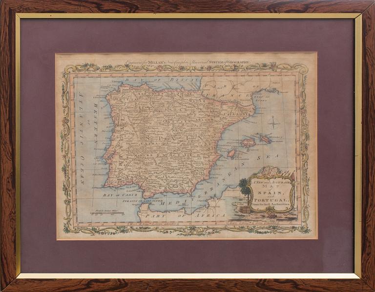
KOPPARSTICK, karta över Spanien och Portugal, 1700-tal
KOPPARSTICK, karta över Spanien och Portugal, 1700-tal
Handkolorerad. "Engraved for Millar's New Complete & Universal System of Geography. A New and Accurate map of Spain and Portugal, from the best Authorities." Bladstorlek ca 23 x 29,5 cm.
Slitage. Ej examinerad ur ram. Gulnad. Veck, skador. Fläckar.
Others have also viewed
4d 20h
Georg Biurman, "Charta öfwer Stockholm med des malmar och förstäder" och Jonas Brolin (1731-1804), "Grundritning öfver.
No bids
Estimate 2 500 SEK
4d 18h
Jan Håfström, "Utan titel (2251).
No bids
Estimate 4 000 SEK
1d 21h
Bertil Herlow Svensson, Untitled.
No bids
Estimate 3 000 SEK
1d 18h
Olle Olsson-Hagalund, "Flicka med undulater".
No bids
Estimate 2 500 SEK
5d 17h
Salvador Dalí, "Henry VI", From: "Much Ado about Shakespeare".
No bids
Estimate 4 000 SEK
2d 19h
Outi Heiskanen, "Tähtikorva Carmen Reino".
No bids
Estimate 250 EUR
5d 17h
Maurice Estève, "Rue Monsieur le Prince".
No bids
Estimate 5 000 SEK
4d 14h
Enrico Baj, "La Canicule", From "Dames et Generaux".
No bids
Estimate 2 500 SEK


