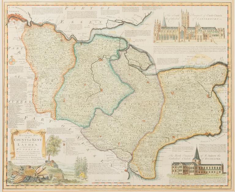
A MAP, "An accurate map of the county of Kent", England 18th century
A MAP, "An accurate map of the county of Kent", England 18th century
Size, 40x49 cm.
Not examined out of frame.
Others have also viewed
3d 19h
André Lanskoy, Untitled.
No bids
Estimate 4 000 SEK
7d
Ando Hiroshige, after, three woodblock prints, 20th century.
No bids
Estimate 4 000 SEK
6d 23h
Ohara Koson, "Night Heron Wading in the Rain".
No bids
Estimate 3 000 SEK
3d 23h
Peter Dahl, "Stolta stad".
No bids
Estimate 10 000 SEK
4d 20h
James Coignard, Untitled.
No bids
Estimate 3 000 SEK
7d 1h
Utagawa Kunisada II, colour woodblock print, Japan 1857.
No bids
Estimate 2 500 SEK
1d 23h
Gunnar Lundkvist, Klas Katt on the Street.
No bids
Estimate 2 500 SEK
3d 21h
Peter Dahl, from "Danstillställning i det kejserliga palatset i Caribanus".
No bids
Estimate 3 000 SEK


