502
176037
Jacob Gillberg
(Sweden, 1724-1793)
Jacob Gillberg
(Sweden, 1724-1793)
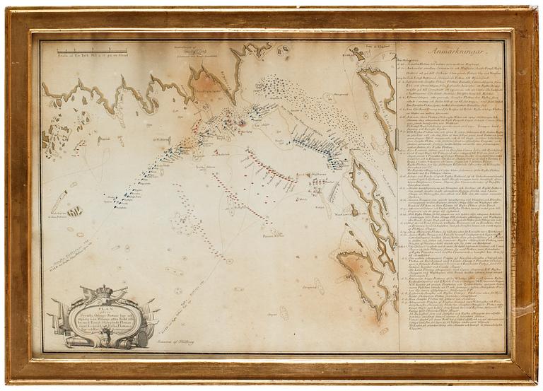
"Plan över flottan vid Viborgs redd 1790"
Engraved map with hand coloring 40 x 58 cm. After an original by Gustav af Klint. Contemporary bronzed frame with original glass.
Discolored, time staining.
Literature
Emil Hultmark, "Svenska kopparsnickare och etsare 1500-1944", 1944, page 118.
More information
Gustaf af Klint (1771-1840) was a Swedish military (vice admiral 1837) and cartograph. During his life he devoted his time prepare the grand masterpiece "Sveriges sjöatlas" translated to Sweden's atlas of the sea. A collection of maps over the countries own fairways, that had been visited by Swedish navigates from Kattegatt to the north of the Black Sea.


