- Quality auctions online
- John BauerMonochromaticJapanese Prints and Works of ArtA Modern SelectionSpring LivingHelsinki Design SaleHelsinki Spring SaleSee all auctionsCategories
See all objectsArtAsian Ceramics & Works of ArtBooks & ManuscriptsCarpets, rugs & textilesCeramics & porcelainCollectiblesDesignFolk artFurnitureGlasswareJewelleryLightingMilitariaMiscellaneousSilverTimepiecesVintage & FashionArchive


Quality auctions online
Theme auctions online

Auction:

Auction:

Auction:

Auction:


Live auctions

Auction: April 15−16, 2025

Auction: April 15, 2025

Auction: May 20−21, 2025

Auction: June 11−13, 2025
Contact us

Sell with Bukowskis
Welcome to contact a specialist

Home Valuation
We can help you with your valuation

Common questions and answers
FAQ and Customer service

Transport and Collection
Arrange transport and locate the nearest pickup point

Systembolagets Wine and spirits auctions
Sell and buy with us


433
203623
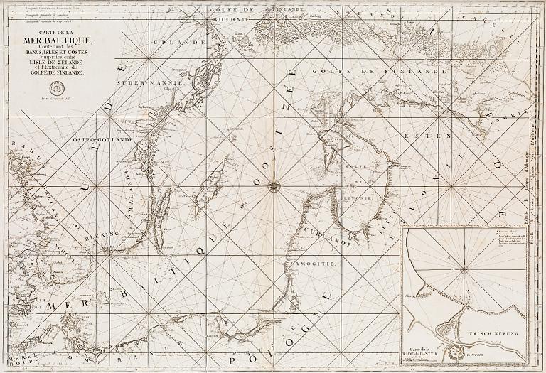
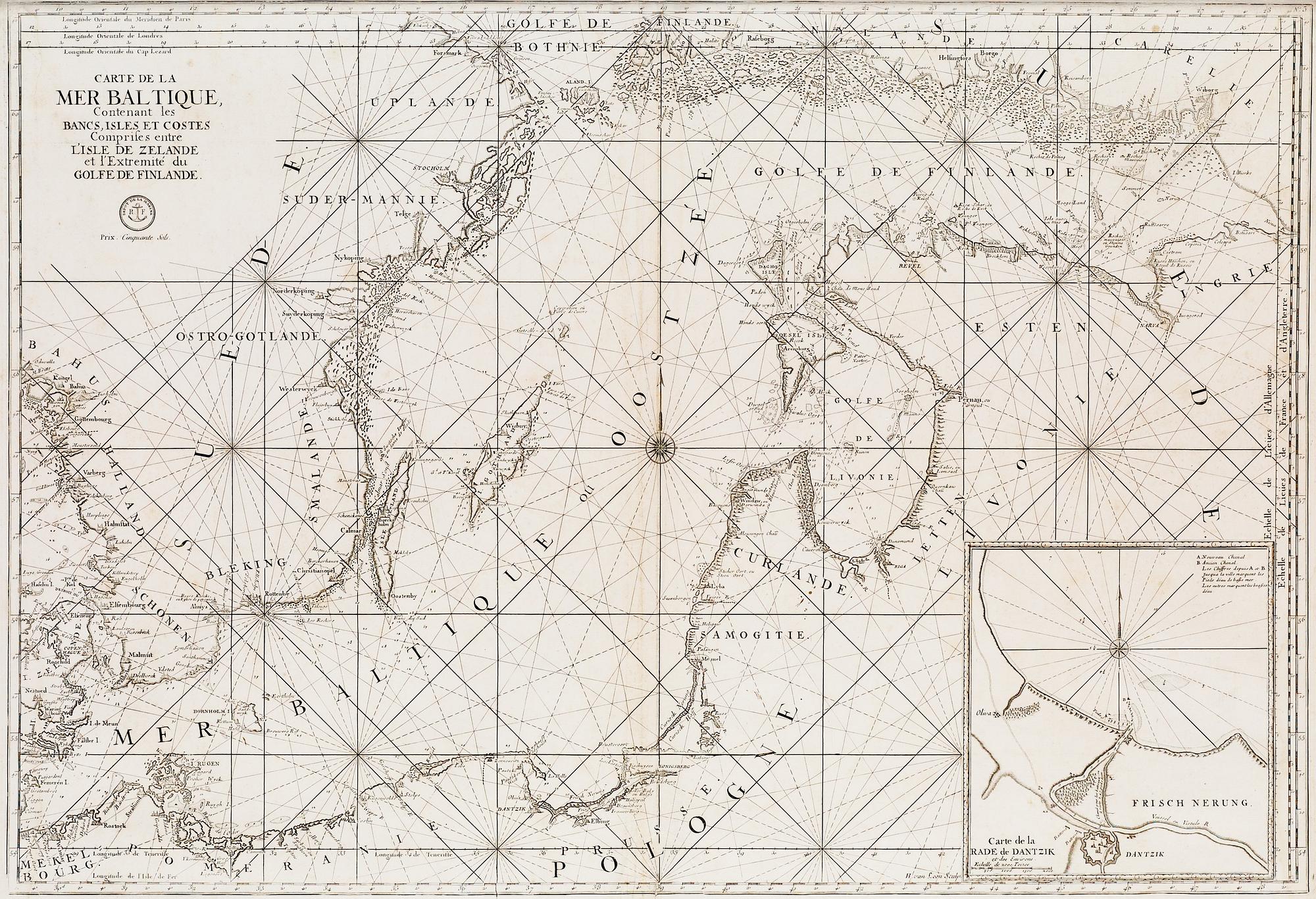
A NAUTICAL CHART.
Estimate
6 000 - 8 000 SEK
553 - 737 EUR
613 - 817 USD
Hammer price
Unsold
A NAUTICAL CHART.
Carte de la Mer Baltique, contenant les bancs, isles et costes comprises entre L'Isles de Zelande et l'extreme du Golfe de Finlande.
H. van Loon, possibly published by Depot de la Marine, Paris, late 17th century. 62x90,5 cm.
Not examined out of frame. Pale foxing, vertical centre-folds.
×
Log in
Could not log in
Bukowskis uses cookies to facilitate user login. Please activate cookies for the domain www.bukowskis.com and try again.
You can read more about cookies on information page about cookies
Could not log in
This is due to one of the following reasons:
- You don't have an account yet. Register a free account
- Your email address has not been verified yet. Did you click on the link in the registration verification email?
- You typed in an invalid email address. Maybe you used a different one?
- The password was wrong. Check your keyboard's language settings and capitalization
- You had too many failed login attempts, please contact our customer service
Could not login
Login failed due to technical reasons. Please check your Internet connection.
Please try again and contact our Customer service if the problem persists.